Flood Control
The Sunbury Municipal Authority operates and maintains the city’s flood protection system to help safeguard residents, businesses, and infrastructure along the Susquehanna River and Shamokin Creek. The system is actively monitored and designed to reduce flood risk during significant weather events.

River Levels & Weather Radar
Stay informed with current river levels and weather conditions using the tools below.
River Levels
Susquehanna River
Shamokin Creek
Little Shamokin Creek
Spring Run
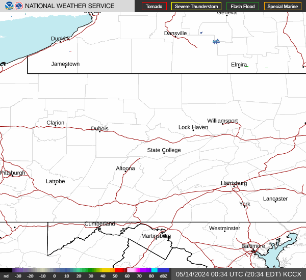
Weather Radar

Flood Protection System
The Sunbury Flood Reduction System was designed and constructed by the U.S. Army Corps of Engineers and completed in 1952. The system is a certified FEMA levee that provides protection along the Susquehanna River, with more than 3 feet of freeboard above the 100-year flood event.
The system also provides protection along Shamokin Creek and is designed to manage significant flood events based on historic river conditions.

Floodwalls
Concrete floodwalls are used in areas where space is limited and traditional levees are not feasible. These reinforced concrete structures are supported by steel sheet piling driven deep into the ground to provide stability and prevent seepage.
The system includes both “I-Wall” and “T-Wall” designs, with a combined length of more than 12,000 feet. These walls are constructed in sections and include expansion joints and drainage systems designed to relieve pressure and control groundwater during flood events.

Pumping Stations
Because much of the city is enclosed by levees and floodwalls, stormwater must be actively managed during heavy rainfall. Without this system, water would accumulate inside the protected area.
To address this, six high-capacity pumping stations are located throughout the system to move stormwater out of the city during flood conditions. These stations vary in capacity and are strategically placed to manage both stormwater and, in some locations, combined sanitary flows.

Operations & Monitoring
Flood operations are managed from the Authority’s Flood Operations Center located at 826 Hillside Drive in Sunbury. The system is actively monitored during changing weather conditions to ensure readiness and response when needed.
Monitoring Network
The Flood Operations Center operates an integrated monitoring network that provides real-time data to support critical decision-making during potential flood events. This system includes:
River and stream telemetry
Pumping station telemetry
Satellite weather and river forecast data
Hurricane tracking systems
River ice observation and reporting
Field monitoring by personnel
This network allows operators to continuously assess conditions and respond quickly to changing weather and water levels. The Operations Center is designed to remain functional during emergencies, ensuring uninterrupted communication and data access.
River & Stream Telemetry
Telemetry stations located along Shamokin Creek, Spring Run, and the Susquehanna River provide continuous monitoring of water levels. Data is transmitted in real time to the Operations Center, allowing operators to determine when to activate pumping stations, close gates, and implement flood control measures.
The system can also issue alerts during evenings and weekends in response to sudden changes in water levels or ice conditions.
Weather & Forecast Monitoring
The department utilizes satellite-based forecasting tools to monitor developing weather patterns and potential flood threats.
The Geostationary Operational Environmental Satellite (GOES) system provides continuous weather and river forecast data, including storm intensity, track, and projected impact. The department also uses HURREVAC, a decision-support program that incorporates data from the National Hurricane Center to track storms and assist with emergency planning.
Emergency Operations
Flood response is guided by a comprehensive emergency action plan based on real-time data from the monitoring network.
As river and stream levels rise, specific actions are taken to protect the system and the community. These actions may include:
- Activating pumping stations
- Closing gravity gates and drainage structures
- Inspecting and clearing drainage systems
- Preparing and installing closure structures
- Increasing monitoring frequency and staffing levels
- Coordinating with local agencies, utilities, and transportation providers
- Notifying media and preparing public safety measures
Response actions vary depending on the type of event, existing conditions, and projected severity. As water levels continue to rise, operations escalate to include 24-hour monitoring, full system activation, and deployment of additional personnel and resources.
FEMA & PEMA
Flood protection and preparedness are supported through coordination between local, state, and federal agencies.
The Federal Emergency Management Agency (FEMA) develops national flood maps, establishes floodplain management standards, and oversees the National Flood Insurance Program (NFIP), which helps property owners manage flood risk.
The Pennsylvania Emergency Management Agency (PEMA) supports emergency planning, response coordination, and disaster recovery efforts across Pennsylvania.
What is a Floodplain?
A floodplain is an area of land that has a chance of flooding during heavy rain, snowmelt, or high-water events. Many floodplains are defined by what is commonly called the “100-year flood,” meaning there is a 1% chance of flooding in any given year.
Flood risk areas are identified through FEMA Flood Insurance Rate Maps (FIRMs), which are used to guide building requirements, insurance needs, and local development decisions.
Participation in FEMA programs helps communities reduce flood damage through building standards, planning, and ongoing monitoring.